Water Flows on the Middle Fork of the Salmon River
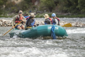
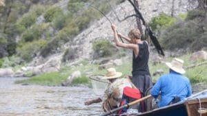
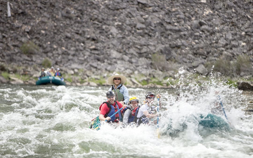
The Middle Fork of the Salmon River is ever-changing. The ideal CFS (cubic feet per second) of the Middle Fork of the Salmon River varies depending on your desired activity. From Middle Fork Salmon River whitewater rafting in the spring runoff to the late season guided fly fishing trip opportunities, the variety that nature provides is what makes every one of our trips incredible and unique. Read on to learn how the water flows on the Salmon River basin can have a great impact on your vacation in the Frank Church Wilderness with Solitude River Trips.

What is a Freestone River?
Since there are no dams on the Middle Fork, or anywhere on the major waterways of the entire Salmon River watershed (thank god!), the Middle Fork is considered a “freestone” or free-flowing river. This means that the water levels follow natural seasonal and diurnal cycle of rising and falling. The major event of a free-flowing river is the spring runoff, which can differ drastically from year to year depending on the snowpack, the rate at which the seasonal warm weather arrives (specifically if the nighttime temperatures gradually pass through the 28-34 degree range, or if it stays cold and then warms up really quickly), and rain. All of these variables create the fortunate situation of a dynamic and exciting river ecology.

What is CFS?
CFS is a volumetric flow rate that is standard across river gages and river goers of North America. It stands for Cubic Feet per Second. CFS is calculated by taking the ever-changing water level of the river on a gage and multiplying that with the average flow rate of that depth measurement and the ever-constant profile of the river bed at the point of the gage. This way the volumetric flow can be deduced from one reading – the water level, or depth. This is why you might hear of a flow stage referred to in either CFS, or feet on the gage. Here is a table that translates CFS and feet on the gage for the Middle Fork. The gage on the Middle Fork is at the Middle Fork Lodge bridge at mile 33.
| Flow (in cfs) - last revised Sep 15, 2020 | ||||||||||
|---|---|---|---|---|---|---|---|---|---|---|
| Height (feet) | .0 | .1 | .2 | .3 | .4 | .5 | .6 | .7 | .8 | .9 |
| 1 | 254 | 312 | 375 | 442 | 514 | 591 | 673 | 759 | 850 | |
| 2 | 945 | 1044 | 1148 | 1256 | 1368 | 1485 | 1605 | 1730 | 1858 | 1991 |
| 3 | 2127 | 2268 | 2412 | 2560 | 2712 | 2868 | 3028 | 3191 | 3358 | 3529 |
| 4 | 3704 | 3882 | 4064 | 4249 | 4438 | 4631 | 4827 | 5026 | 5229 | 5436 |
| 5 | 5646 | 5860 | 6077 | 6297 | 6521 | 6748 | 6979 | 7213 | 7450 | 7691 |
| 6 | 7935 | 8182 | 8433 | 8687 | 8944 | 9204 | 9468 | 9735 | 10005 | 10278 |
| 7 | 10555 | 10835 | 11118 | 11404 | 11693 | 11985 | 12281 | 12580 | 12881 | 13186 |
| 8 | 13494 | 13805 | 14120 | 14437 | 14757 | 15081 | 15407 | 15736 | 16069 | 16404 |
| 9 | 16743 | 17085 | 17429 | 17777 | 18127 | 18481 | 18837 | 19196 | 19559 | 19924 |
| 10 | 20292 | 20663 | ||||||||

What is the Flow Stage Rating?
The flow stage is an agreed upon rating of the water levels Through the combined knowledge of the managing agencies and the river outfitters, different ratings are decided upon. Ratings are generally used across all rivers, but each river’s CFS and different sections will have different ratings. See below for the Middle Fork’s flow ratings.
| Feet | CFS | Flow Stage | Average Season |
| 8 | 13,900 | Beyond Extremely Hazardous | Uncommon |
| 7 | 10,500 | Extremely Hazardous | Uncommon |
| 6 | 7,650 | Hazardous | May 5 - June 5 |
| 5 | 5,280 | Moderate | June 5 - June 10 |
| 4 | 3,370 | Moderate | June 10 - June 20 |
| 3 | 1,900 | Moderate | June 20 Onwards |
| 2 | 860 | Moderate | June 20 Onwards |
| 1.5 | 450 | Low | Uncommon |

The Middle Fork Watershed
Another consideration of the dynamic essence of the Middle Fork is how much the CFS increases between where boats are put in at Boundary Creek and where they are taken out 100+ miles downstream at the confluence with the Main Salmon River. During May and June, the CFS on the Middle Fork can increase 12 times between the top and the bottom! Over a hundred major and minor tributaries come into the Middle Fork, which drain 1.5 million acres of wilderness. The flow data from the gage can be very helpful, but it’s important to understand that the enormous square mileage drained by most tributaries means that the gage can only be taken as a very broad suggestion of what the flows might be everywhere else on the river.

Middle Fork Salmon River Trips with Solitude River Trips
For more detailed information about the current and forecasted water levels, check out our Salmon River water levels page or contact us with any questions.
Solitude River Trips offer the most comfortable, convenient, and unforgettable wilderness Middle Fork Salmon River fly fishing and Idaho whitewater rafting experiences in North America. We are ready to get you out on the Middle Fork of the Salmon River! Our 6-day trips are designed to provide families, friends, lovers, or solo travelers with the most unforgettable and high-quality adventure vacation of their lives. Learn more about our trips or use the form below to contact us with any questions.